Corn Earworm
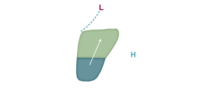
A complex, active weather pattern is expected for the next several days across the corn-growing region, and this could lead to a couple of opportunities for corn earworm migration especially as a late growing season heat dome builds along with at least modest south winds. Low migration risks are predicted tonight into tomorrow mainly south of I-90 and generally west of a line from near Springfield, Missouri to the Central Sands of Wisconsin. Low risks continue in the forecast tomorrow night mainly west of Lake Michigan and I-55 in central Illinois as southerly winds persist ahead of an area of organizing low pressure in the High Plains. The overall weather picture becomes more complicated by late week as Hurricane Hanna makes landfall and likely moves north just west of the Mississippi River valley and eventually into the Ohio River valley by the weekend. Before this system begins to really impact wind flow across the southern corn-growing region, a period of fairly stout southerly winds may lead to scattered moth flights into portions of the northern corn-growing region from Iowa and Minnesota into the southern Great Lakes on Wednesday night into Thursday. A Moderate risk is predicted at that time, with Low risks covering virtually the whole of the central and northern corn-growing region at that time. Low risks continue mainly from the Mississippi River east Thursday night into Friday as Hanna moves northeast and a cold front settles southeast from the north. Fresh market and processing growers should continue to scout fields and check traps through the week as new/additional moths may arrive given the expected weather pattern.


