Corn Earworm
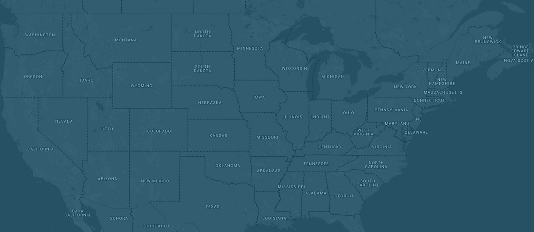
A change to the corn-growing region weather pattern is predicted to commence this weekend and into next week as the mean flow shifts from northwest to southwest. For at least portions of the Midwest, that means an increase in southerly winds and potential precipitation events as well as increased risks for potential corn earworm migration. Low risks are back in the forecast initially tomorrow night into Sunday morning from Kansas and western Missouri north into eastern Nebraska, far southeast South Dakota, southern Minnesota, far western Wisconsin, and Iowa as low pressure continues to deepen across the northern Plains and southern Canada. Low risks continue Sunday night into Monday morning from Kansas and Missouri northeast into southeast Minnesota, far southern Wisconsin, and into Illinois as a cold front south of the low pressure system moves southeast. A new low pressure is predicted to develop and eventually deepen from the central Plains northeast into the upper Midwest by the early-middle portion of next week. By that time, high pressure is expected to move far enough east into at least the Appalachian Mountains to result in a more widespread southerly wind event across the western and central corn-growing region. Source regions in the mid-south, especially in Arkansas, may also be tapped so Moderate corn earworm migration risks are already in the forecast for fields mainly north of I-80 from eastern Nebraska into Iowa and points north into far southeast South Dakota, southern Minnesota, and far western Wisconsin where the greatest flight risk exists and also where more crops at sensitive stages to damage may occur at this point in the growing season. Low risks extend east to Lake Michigan and the I-57 corridor in Illinois, and north into central Minnesota and northern Wisconsin, as well. Growers are advised to monitor forecasts next week for the latest information as additional elevated risks are possible.


