Corn Earworm
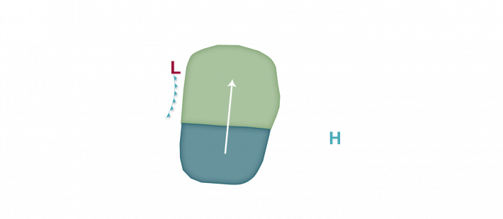
An overall warm to hot, south to southwest flow weather regime is predicted to continue for the first half of this week across a large portion of the corn-growing region. As a result, mainly isolated corn earworm migration risks will continue in the forecast until a cold front begins to push southeast through the region ahead of a weather pattern change expected to take hold by next weekend and into next week. South to southwest winds are likely to continue for the next 2-3 days ahead of this front, and with some precipitation expected ahead of and along the front, there is the possibility for some isolated corn earworm moth flights into fields mainly west of US 51/I-39 tonight from central Illinois and Wisconsin and points westward. Tomorrow night into Wednesday morning, the Low risk area shifts east to Lake Michigan and the I-57 corridor in eastern Illinois. Finally, as the cold front gets a push to the southeast, the overall risk area shifts to between the I-35 and I-75 corridors from central Iowa and southeast Minnesota east into lower Michigan and western Ohio. No additional risks are predicted after the cold front passes through the region by late week, but vegetable and fresh-market growers are encouraged to monitor traps and scout any produce that may be at a susceptible stage to damage in the coming week.


