Black Cutworm
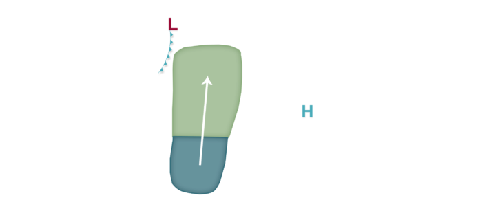
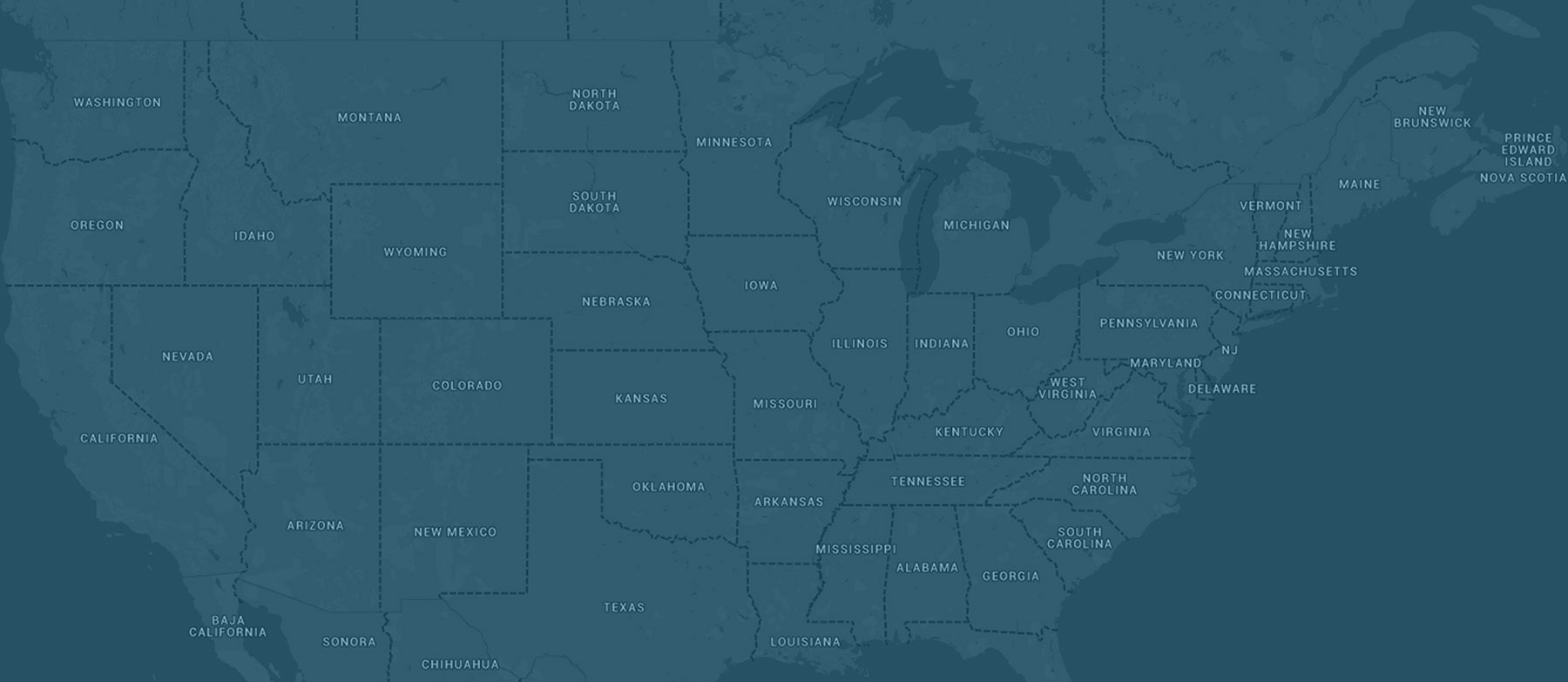
An active weather period is expected for the next week or so, and this will likely bring with it increasing prospects for black cutworm migration given an increase in southerly flow, multiple cold front passages, and associated rainfall near the fronts that may act as drop zones for flying insects. Low migration risks are predicted tonight into tomorrow morning mainly along and west of I-35 as low pressure develops in the High Plains and southerly winds increase in the western corn-growing region. Fields from Kansas and western Missouri as far north as the North/South Dakota border into Minnesota are at risk. Low risks then shift east tomorrow night into Thursday as a cold front enters the Plains states, with the risk area mainly focusing east of a Goodland, Kansas to Saint Cloud, Minnesota line all the way east to the I-75 corridor in southeast Michigan and western Ohio. As south to southwest winds strengthen and originate over the mid-south region, Moderate risks are in the forecast for Thursday night into Friday across Indiana, Ohio, southeast lower Michigan, and into southern Ontario, Canada as prospects for the potential of scattered moth flights appears higher during this time ahead of a cold front passage. Low risks are also in the forecast over the weekend mainly east of I-55 from Missouri into Illinois and points east as another potential wave of energy moves through, bringing another round of not only southerly winds but also precipitation. Growers with newly emerged corn are encouraged to scout fields at this time as flights a month ago may now be producing larvae that could affect this corn.


