Corn Earworm

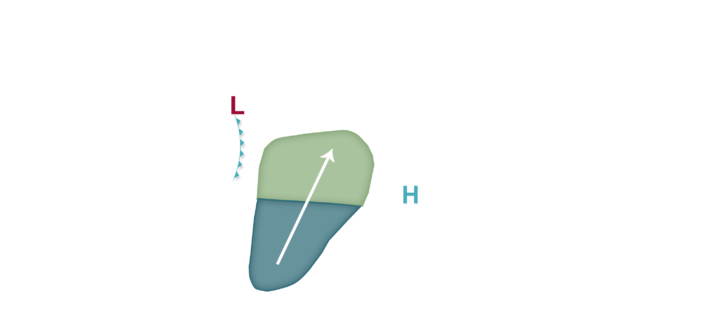

A very strong late spring/early summer low pressure system is predicted to impact especially the southern half or so of the corn-growing region in the next 48 hours. Even though this system is largely northwest-flow driven, it will still be able to develop a good corridor of southerly winds to the east of a cold front that will pass through the southern half of the corn-growing region by Thursday. For these reasons, a few forecast changes are in store in comparison to yesterday’s forecast, including the introduction of a Low migration risk for areas roughly south of I-80 and west of the Mississippi River tonight into tomorrow, but also including a small portion of western Illinois. The Low risk area has been shifted further south and east from yesterday’s forecast for tomorrow night into Thursday, with areas roughly along/southeast of I-70 and I-44 from southern and southeast Missouri east into central/southern Illinois, Indiana, Ohio, and Kentucky, with probably the greater risk (albeit still Low given unfavorable crop stage and also several reports of below average corn earworm moth activity in lower Mississippi River valley at the present time) near the Ohio River. Little to no risk is currently predicted after Thursday, but we may need to include some risk by later in the weekend depending on how another weather system develops, or not.
