
Corn Earworm


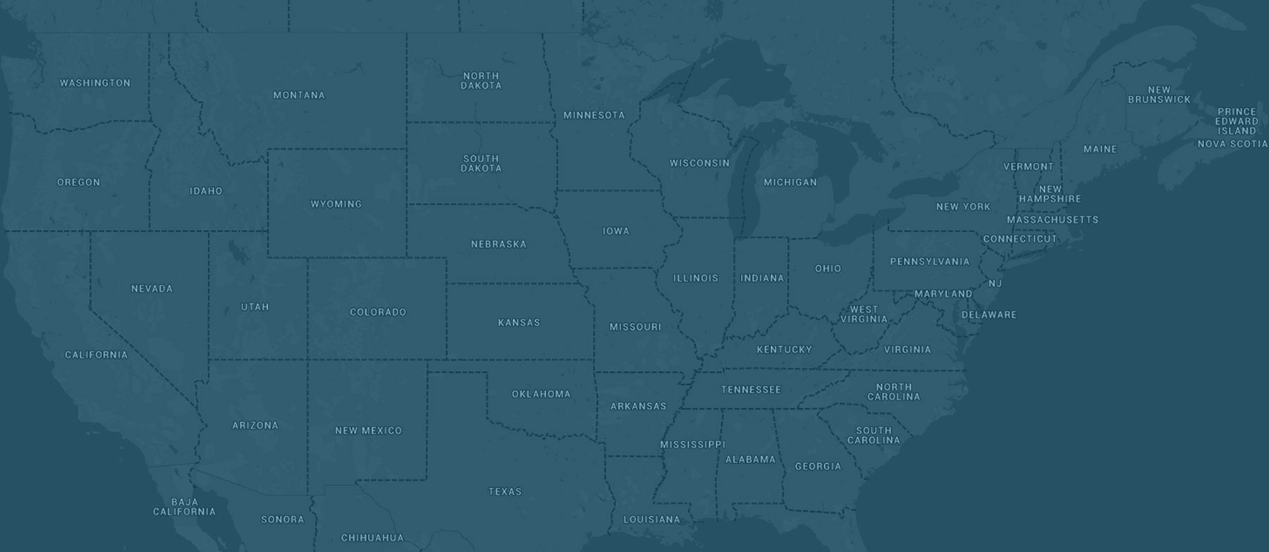
A stagnant weather pattern is expected to settle into the corn-growing region beginning this weekend and likely continuing into at least the middle portion of the next week, if not beyond. The weather pattern is expected to feature high pressure over the southeast United States, or even a portion of the southeastern corn-growing region, with low pressure in the High Plains. In between these two features, southerly winds will be very common and, at times, will be quite gusty. With the lack of progression to the overall pattern, these southerly winds along with hot and humid conditions will stay in place for days. Strongest winds are expected west of Lake Michigan, and given the persistence of the southerly winds out of Texas source regions, and also looking at a higher percentage of both fresh market and processing crops as well as earliest plantings of field corn now reaching into critical growth stages, we have hoisted a Moderate corn earworm migration risk for portions of Kansas, Nebraska, South Dakota, Minnesota, Iowa, Missouri, Illinois, and Wisconsin beginning Sunday night into Monday and continuing into at least Tuesday morning. We will re-evaluate conditions Monday and update the risk as needed. Growers are encouraged to check or set traps and in vulnerable fields, scout those fields or plantings/gardens for signs of corn earworm. The Low risk does extend as far as I-75 in the eastern corn-growing region but strongest winds are expected west of the Great Lakes.