
Corn Earworm

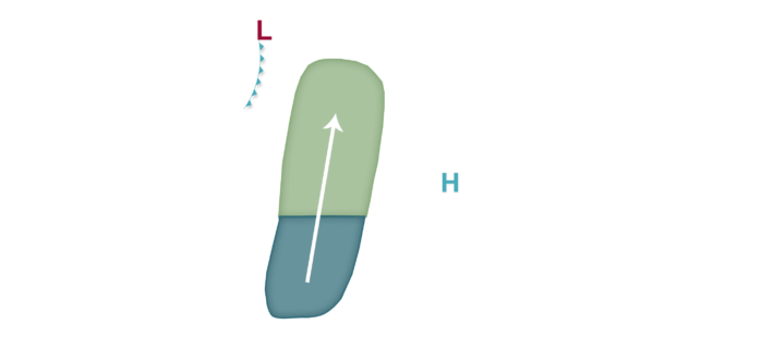
A stagnant weather pattern is predicted across much of the corn-growing region for this week. More progression is expected by late in the week and especially next weekend when a potential cold front pushes southeast. Until that time, however, high pressure is expected to linger across Illinois and Indiana while low pressure is found across southern Canada or the northern Plains just east of the Rocky Mountains. With high pressure south of Lake Michigan, any southerly winds of note are likely to remain confined to areas west of the Mississippi River, and corn earworm migration risks should largely remain along/west of I-35 through mid-week, at least. Eventually, an eastward progression of the risk is expected by late week and especially next weekend, potentially as far as the I-69 corridor by late Friday into Saturday, with an elevated Moderate risk predicted across portions of the Plains into western corn-growing region by that time, as well, including Kansas, Nebraska, South Dakota, Minnesota, Iowa, and portions of Missouri. Stay tuned, as once we get past 3-4 days, forecast confidence drops and there are still some question marks on how far east and exactly when the high pressure finally moves out. Regardless of the risk, growers are still encouraged to monitor traps and scout fields as numerous flights have been recorded in recent weeks from storm systems in late June and early July.