
Corn Earworm

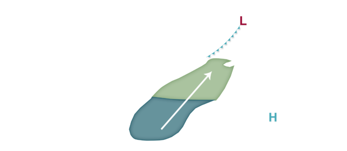
Low corn earworm migration risks remain in the forecast on a nightly basis right into early next week as a fairly active weather pattern is expected to hold across much of the corn-growing region. No less than two separate cold fronts are expected to impact the region, with the first and weaker front affecting the southeast portion of the corn-growing region tonight into tomorrow. Rather weak south to southwest winds are expected near and southeast of this front, but some isolated moth flights could still occur. For this reason, Low migration risks are predicted from southeast Kansas to near Quincy, Illinois and northeast to near Chicago, Illinois and points southeast from there. Low risks then focus back southwest across the central Plains and also a little further east tomorrow night into Friday as the second system begins to develop in the High Plains and southern Canada. Over the weekend and into early next week, a frontal boundary will somewhat slowly settle to the southeast, likely locally enhanced and affected by thunderstorm clusters to a certain degree. Migration risks remain in the Low category essentially along/south of I-90 west of Lake Michigan and along/south of I-96 in lower Michigan. We will likely be adding a Moderate risk to the forecast tomorrow or Friday once thunderstorm trends look a little more confident. Growers with crops at susceptible stages to corn earworm damage should continue to monitor traps and scout fields as some new moth flights are probable, at least into portions of the corn-growing region, in the next week.