
Corn Earworm

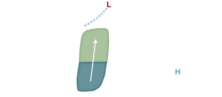
An active weather pattern is predicted for at least a portion of the corn-growing region over the next five days. A cold front is expected to move slowly south through the weekend and into early-mid next week and may also move north/south at times in response to thunderstorm clusters and what seems to be a constant battle between cooler high pressure out of Canada and warm, humid air coming north from the Gulf of Mexico. For corn earworm migration possibilities, the position of this front and associated thunderstorms is critical to most likely locations for moth migration. Over the last 24 hours or so, the front may be more progressive than previously predicted, so overall migration risks may focus a little further south except for Saturday night into Sunday when the risk extends as far north as I-90 or even a little further north than that and also north into Wisconsin and lower Michigan. Overall, however, the primary focus may lie a little further south, nearer to I-80 but potentially up to US 20 or I-90. We are maintaining Low risks for now, but elevated risks may still enter the picture over the weekend or even early next week but the further south placement today may limit more widespread migration risks into northern areas compared to the past few days.