
Corn Earworm

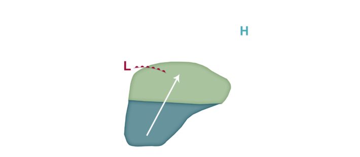
A frontal boundary draped roughly northwest to southeast through the heart of the corn-growing region divides very warm to hot and humid conditions to the south and cooler and drier weather to north. Southerly winds are common south of the front, and with this front not making as much progress southward as anticipated, we have to re-introduce corn earworm migration risks near and south of the front for the next few nights. Low risks are focused from Kansas, Missouri, and western Kentucky north to roughly the US 20 corridor in Nebraska, Iowa, Illinois, and then southeastward into Indiana and western Ohio. Thunderstorm complexes are running along this front and may serve as drop zones for any migrating insects the next few nights. Once late Friday into Saturday comes, a cold front is finally expected to push southeast into at least the southern corn-growing region if not further south, and Low migration risks are back in the forecast as far north as Minnesota, Wisconsin, and then into lower Michigan and the eastern corn-growing region Saturday into early Sunday before this front passes. Depending on how thunderstorms occur and where the next few days, we may need to increase the migration risk by the weekend in some areas. Growers are encouraged to monitor traps and scout fields especially if corn earworms are a risk to crops given growth stage.