Corn Earworm

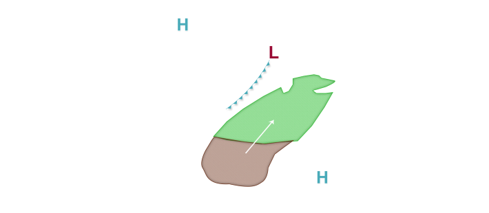

The possibility for corn earworm migration is in the forecast this week and into next weekend for at least a portion of the corn-growing region as a more active weather regime returns to a portion of the central United States. With corn earworm trap counts beginning to show signs of increase across the mid-south, growers with tasseling corn and fresh silks should be on the alert for the potential of new moths and potential damage, mainly on an isolated basis, in the next week or so. In the short-term, Low risks are in place tonight mainly east of a Wichita, Kansas to Chicago, Illinois line as a cold front moves southeast through the corn-growing region. Scattered to widespread precipitation is predicted along and east of the front with mainly weak to occasionally moderate south to southwest winds east of the front. These weather features may combine to result in some isolated moth flights especially across the eastern corn-growing region tonight into tomorrow morning. The front does settle south but stalls out somewhere near I-70 tomorrow into tomorrow night as a new area of low pressure develops in the southern Plains states. Low migration risks are maintained in the forecast mainly along and south of I-70 tomorrow night. Looking further ahead, Low risks are back in the forecast across the Plains states and into the western Midwest late week and into early next weekend as the new low pressure system develops in the Plains states. There is still some uncertainty in exactly where a warm front to the east of the low pressure system will set up shop, but most likely somewhere near the I-80 or I-90 corridors appears most likely at this time. Only Low risks are in place given forecast uncertainty and also less than optimal wind speeds which could lead to a larger scale flight.
