Corn Earworm

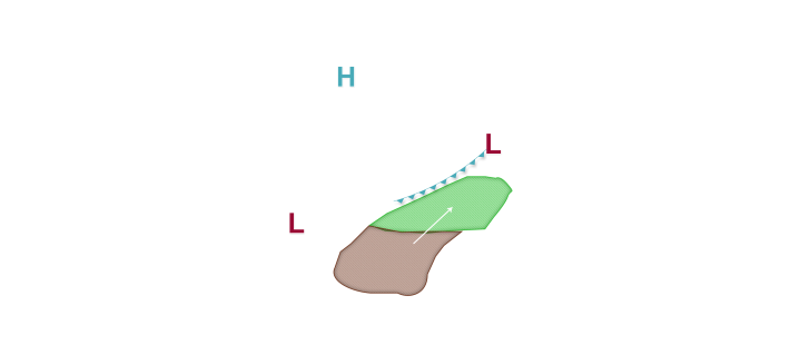

An active weather week is predicted across at least a portion of the corn-growing region as a heat dome develops across the central and southern Plains and sets up a battleground region between cooler and drier air in the upper Midwest, Great Lakes region, and Canada. The primary storm track lies between these two air masses, and corn earworm migration possibilities are in the forecast on a daily basis right into next weekend as southerly winds are expected to blow north through the heat dome and into the frontal zone, potentially resulting in isolated corn earworm drop zones. Low risks are in place tonight into tomorrow morning across the southern and southeast corn-growing region as an area of low pressure moves east along a stationary front located near I-70. Low corn earworm migration risks are found along and south of this front from southern Missouri east into Kentucky, southern Illinois, southern Indiana, and southwest Ohio. As the low pressure moves east along the front tomorrow night into Thursday, the Low risk continues mainly across Kentucky, Indiana, and Ohio where southerly winds are expected to be most prevalent. Looking further ahead, Low risks focus back into the Plains and western Midwest as southerly winds increase along and south of a warm front that is expected to set up and vacillate between I-80 and I-90. Low risks are in the forecast mainly west of Lake Michigan and along/south of I-90 late this week and into the weekend, and potential risk upgrades will be possible as confidence in the overall weather pattern increases and if more active source regions across the mid-south become a greater factor.
