Corn Earworm
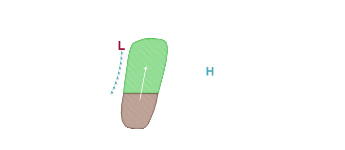
An active but largely northwest to southeast flow dominated weather pattern is predicted through the middle of next week across much of the corn-growing region. As a result, only Low but persistent corn earworm migration risks are in place mainly to the west of Lake Michigan where more favorable conditions for potential isolated moth flights will exist. A Low risk is in place tonight across the Plains and into the western Midwest, mainly west of I-35 and as far north as central South Dakota and southwest Minnesota as low pressure organizes in the Plains states. Low risks continue in the forecast tomorrow night into Saturday morning, and include fields as far northeast as southern Minnesota and central/southern Wisconsin as well as into far southwest lower Michigan and northwest Indiana. A cold front will be pushing southeast by Friday and into Saturday, and may bring with it prospects for precipitation along/south of the front and also the potential for some isolated moth flights into the risk area. By late in the weekend and early next week, Low risks are once again in the forecast initially across the Plains states but eventually further east into the Mississippi River valley as the next cold front approaches the region. With rather short duration southerly winds predicted ahead of the fronts and a less than favorable source region, only Low risks are in the forecast at this time despite a favorable crop stage and active mid-south source region populations currently in place.


