Corn Earworm

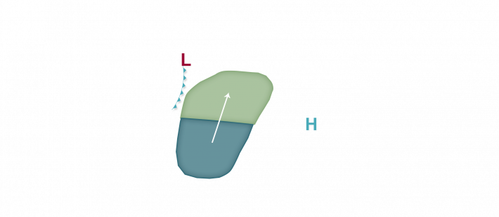

An active weather pattern is predicted across much of the corn-growing region this week. Heat and humidity are likely over southwestern areas with a cold front eventually working its way southeast through the region next weekend. Ahead of the front, however, south to southwest winds along with scattered areas of precipitation may lead to some isolated and potentially scattered moth flights on a nightly basis this week into next weekend. Low migration risks are predicted tonight into tomorrow morning from Kansas and Missouri northeast into southeast South Dakota, southern Minnesota, far southwest Wisconsin, and northwest Illinois. Low risks continue in the forecast tomorrow night into Thursday morning across virtually the same area but just a little further north into South Dakota and Minnesota and east into southern Wisconsin and northwest/western Illinois. As high pressure moves a little further east by late week, some moth migration may occur further east into Illinois and Wisconsin, and a Moderate risk is in the forecast ahead of the cold front passage Friday night into Saturday morning across Iowa, northern Illinois, and southern Wisconsin with Low risks east of the front across the southern Great Lakes and eastern corn-growing region by Saturday night into Sunday morning. Growers should monitor traps and scout fields as host plants across the mid-south are now moving past favorable stages where corn earworm are wanting to remain in the fields, so an increase in movement north is likely over the next few weeks.
